According to Census 2011 information the location code or village code of Kachargad village is 538036. Kachargad village is located in Salekasa Tehsil of Gondiya district in Maharashtra, India. It is situated 15km away from sub-district headquarter Salekasa and 60km away from district headquarter Gondiya. As per 2009 stats, Kosamtarra is the gram panchayat of Kachargad village.
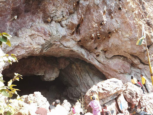
The total geographical area of village is 427.45 hectares. As per 2019 stats, Kachargad villages comes under Amgaon assembly & Gadchiroli-Chimur parliamentary constituency. Salekasa is nearest town to Kachargad.
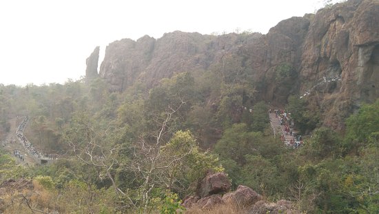
Reach by Road
Nagpur-Raipur highway around 230 km
Around 100 km from Gondia District
Reach by Rail
Salekasa is the nearest railway station
Its on Nagpur- Raipur rail highway






5 Comments
Comments are closed.